Skip to content
(970) 236-2307
info@alpinenav.com
Grand Junction, CO
Search:
Search
Alpine Navigation
Construction and Survey Solutions
Supplies
Lasers
Locators
Construction
Carlson Construction Solutions
Machine Control Solutions
GNSS Solutions
Total Stations
Software Solutions
UAV / Drone Solutions
Topcon Construction Solutions
Machine Control Solutions
GNSS Solutions
Total Stations
Software Solutions
Hemisphere Construction Solutions
Machine Control Solutions
GNSS Solutions
Software Solutions
Survey / GIS
Carlson Survey Solutions
GNSS Solutions
Total Stations
Software Solutions
UAV / Drone Solutions
Topcon Survey Solutions
GNSS Solutions
Total Stations
Software Solutions
Hemisphere Survey Solutions
GNSS Solutions
Software Solutions
Service
Contact
Request a Demo
Shop
0
View Cart
Checkout
No products in the cart.
Subtotal:
$
0.00
View Cart
Checkout
Supplies
Lasers
Locators
Construction
Carlson Construction Solutions
Machine Control Solutions
GNSS Solutions
Total Stations
Software Solutions
UAV / Drone Solutions
Topcon Construction Solutions
Machine Control Solutions
GNSS Solutions
Total Stations
Software Solutions
Hemisphere Construction Solutions
Machine Control Solutions
GNSS Solutions
Software Solutions
Survey / GIS
Carlson Survey Solutions
GNSS Solutions
Total Stations
Software Solutions
UAV / Drone Solutions
Topcon Survey Solutions
GNSS Solutions
Total Stations
Software Solutions
Hemisphere Survey Solutions
GNSS Solutions
Software Solutions
Service
Contact
Request a Demo
Shop
Topcon
Showing 1–16 of 30 results
Default sorting
Sort by popularity
Sort by latest
Sort by price: low to high
Sort by price: high to low
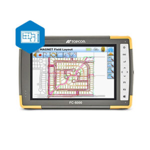
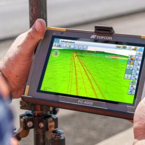
Magnet Field Software
Read more
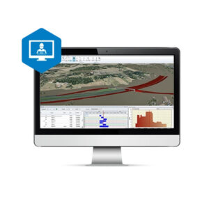
Magnet Office Software
Read more
Pocket 3D Software
Read more
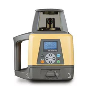
Topcon RL-200
$
3,480.00
–
$
5,070.00
Select options
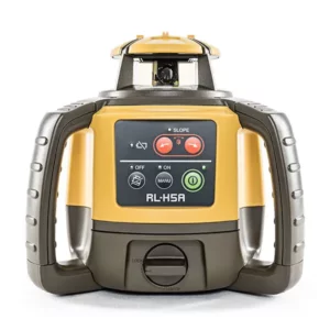
Topcon RL-H5 Series
$
970.00
–
$
1,380.00
Select options
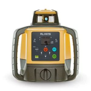
Topcon RL-HV Series
$
2,290.00
–
$
2,890.00
Select options
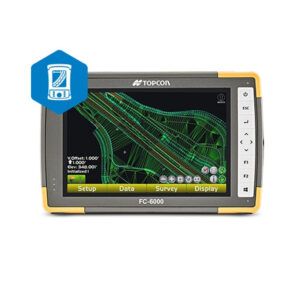
Topcon 3D-MC Max Dozer
Read more
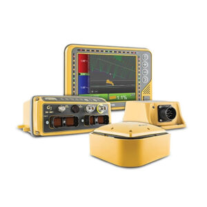
Topcon 3D-MC Platform
Read more
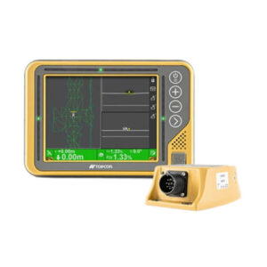
Topcon 3D-MC² Dozer
Read more
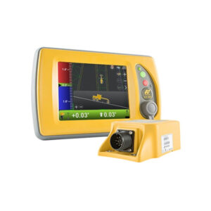
Topcon 3D-MC² Grader
Read more
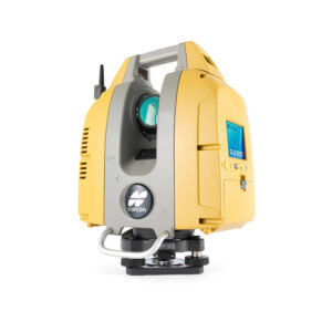
Topcon GLS-2200
Read more
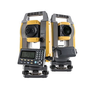
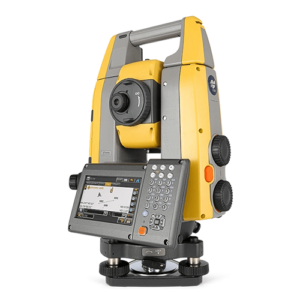
Topcon GM-100
$
11,200.00
–
$
16,700.00
Select options
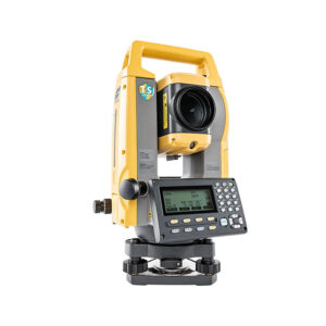
Topcon GM-50
$
6,900.00
–
$
8,300.00
Select options
Topcon GT-1200/600
Read more
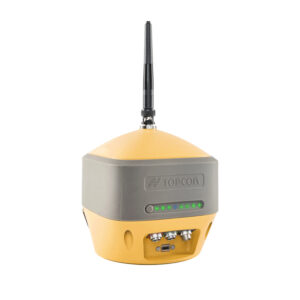
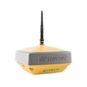
Topcon HiPer HR
Read more
Topcon HiPer VR
Read more
→
1
2
→
Go to Top