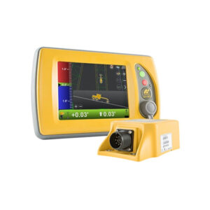
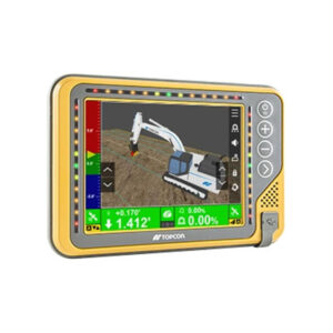
This office software companion to our field-productivity solutions handles the data import-and-export needs and provides project insights for better site management and improved profitability. You can optimize digital-infrastructure workflows including machine-control models, material takeoffs, final survey deliverables, point-layout files, paving-resurfacing design and location-based project scheduling for mass-haul earthmoving.
Constructible digital terrain models
MAGNET Office software enables you to efficiently combine plans and survey data to build machine-and-instrument-ready constructible 3D digital-terrain models for site work, corridors, roads, paving and trenching. MAGNET digital-terrain models can be directly transferred to machines, field personnel or project stakeholders for a better-connected project team.
Digitize workflows, both simple and complex
Even if you are just starting your digitization journey, you can quickly be working with improved machine control files, converting estimation methods from paper to 2D or 3D models, or efficiently creating survey deliverables. To better align your project team create texturized models from your project data sets to provide a visual collaboration tool.