Carlson RTk5
The Carlson RTk5 adds an advanced GNSS solution featuring Carlson’s RTK engine, Gama, to the RT5 ruggedized Windows data collector. Designed for surveying, stake-out, construction layout and GIS mapping, the RTk5 is bundled with Carlson SurvPC – the Windows-based data collection program.
Carlson RT5
The Carlson RT5 is a ruggedized Windows data collector designed for surveying, stake-out, construction layout and GIS mapping, and is bundled with Carlson SurvPC. Collect and analyze your data quicker than ever before.
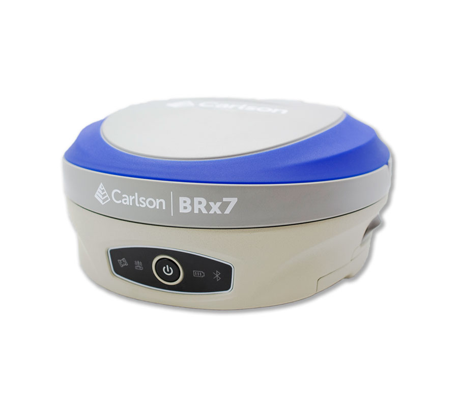
BRx7 GNSS Receiver
The BRx7 GNSS receiver with SurvCE/SurvPC delivers a modern and flexible GNSS RTK product for precision surveys, with an intuitive and familiar application software. The lightweight BRx7 receiver may be used as a Base or Rover.
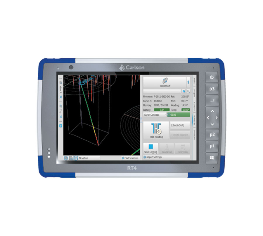
Carlson RT4
The Carlson RT4 is designed for surveying, stakeout, construction layout, and GIS mapping and is bundled with Carlson SurvPC – the Windows-based data collection program.
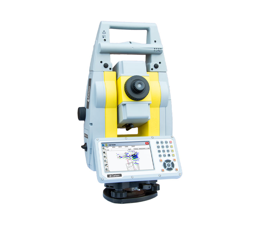
CRx Robotic Total Station
The Carlson CRx series of Robotic Total Stations provides a choice of 1″, 2″, 3″ and 5″ angular resolutions to match the application requirements. The instruments are combined with SurvCE or SurvPC on a field computer to access the full range of Carlson survey features for efficiency and automation in a familiar environment.

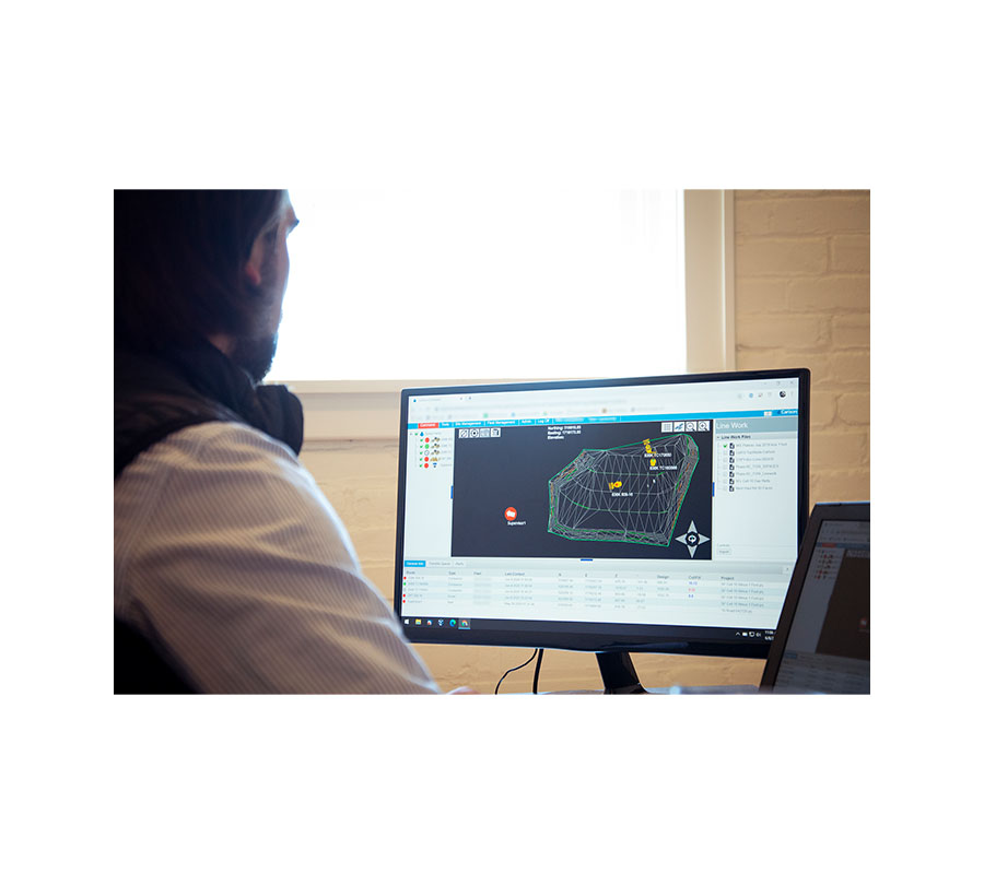
Carlson Survey
Carlson Survey is designed to complement land surveying operations and provides a variety of survey features to process data from surface modeling to Least Squares Network Adjustment
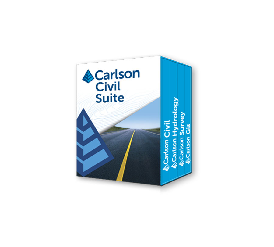
Carlson Civil Suite
Carlson Software’s Civil Suite is a powerful software bundle made up of: Carlson Survey, Carlson Civil, Carlson Hydrology, and Carlson GIS.
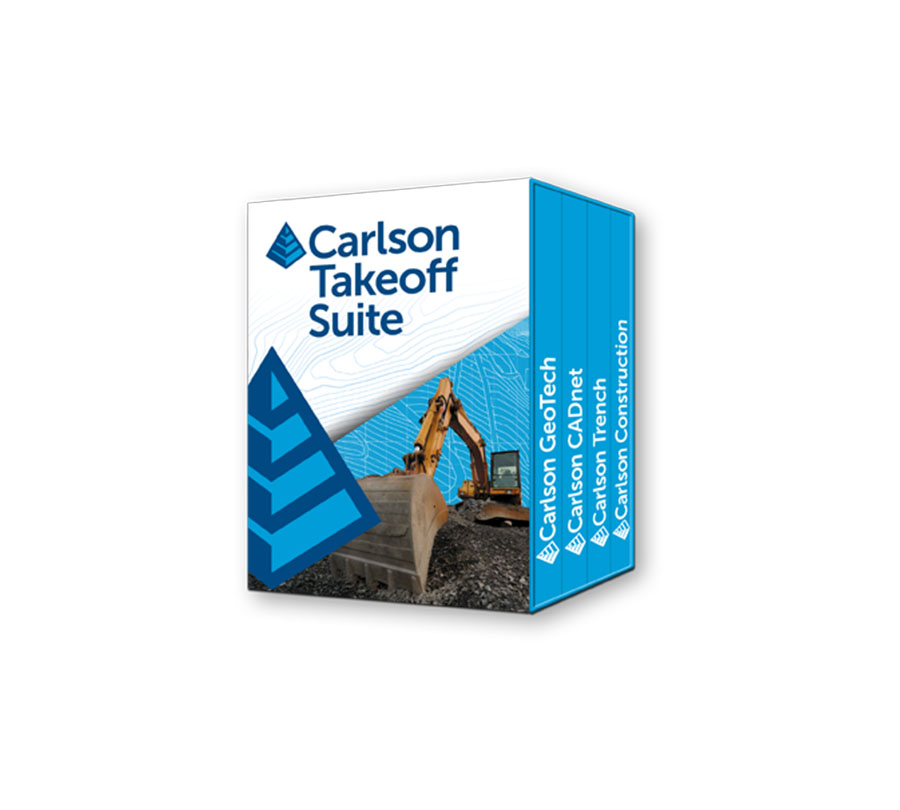
Carlson Takeoff
Carlson Takeoff is a cut/fill volumes and data prep (for layout or machine control) program that can estimate jobs using paper plan digitizing, PDFs, or electronic CAD files.
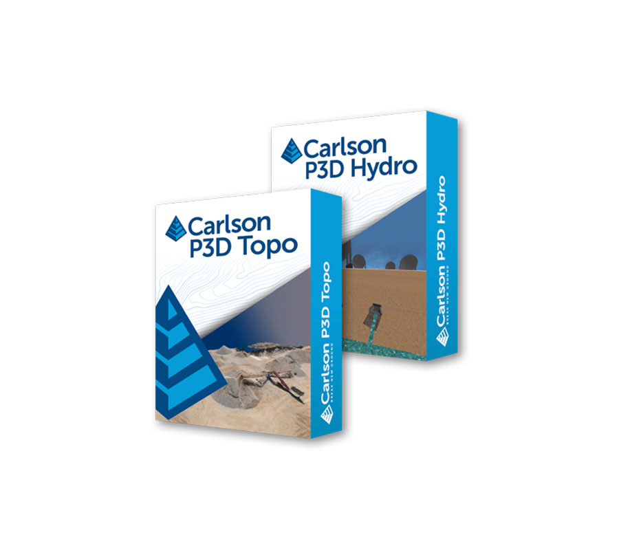
Carlson Precision 3D
Carlson Software’s revolutionary Precision 3D platform combines the easy and delight of a completely 3D environment with the rigor and precision of sophisticated engineering tools.
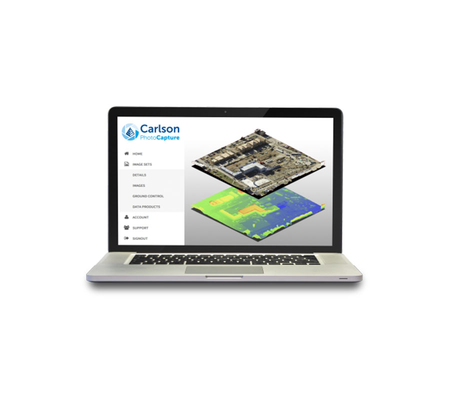
Carlson PhotoCapture
Aerial surveying and drone photogrammetry is rapidly becoming a vital part of any surveyor’s toolkit. Thousands of people use drone site flyovers every day to help boost efficiency.
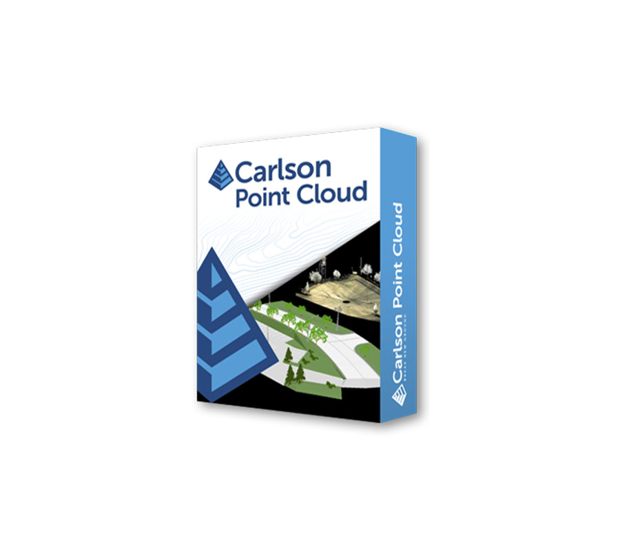
Carlson Point Cloud
A modular program that provides the ability to go from field scan to finished plat, Carlson Point Cloud delivers powerful automation for large data sets. View and process up to 1 billion points all with Carlson ease-of-use.
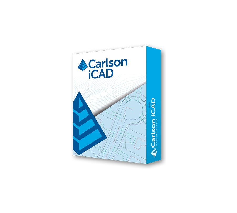
Carlson iCAD
Carlson iCAD is an affordable CAD program that works with both .dwg and .dgn files and is designed to fit into your production workflow. Carlson iCAD allows drafters to finish drawings and engineers to review drawings.
Carlson Command
Carlson Command is a monitoring and data management software solution that transmits data from the machines to Command and from Command to the machines, increasing both safety, productivity, and reporting capabilities.
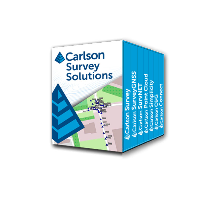
Carlson Survey Solutions
Developing user-friendly, technically advanced software for land surveying - doing what surveyors needed it to do is how Carlson got its start.
Carlson CAP50
The new American Made CAP50 UAV is ideally suited for Land Surveying, Construction, Engineering, Mining, Quarry and Mapping applications. With a payload capacity of up to 6lbs it offers multiple payload options for Photogrammetry, LiDAR, and Bathymetry.
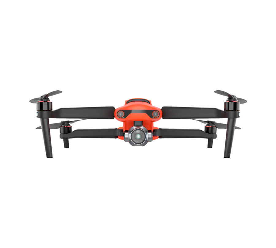
Carlson Autel EVO II Pro
The Autel Robotics EVO II Pro RTK is an advanced, proven aerial platform used for high accuracy imagery gathering in the surveying, construction, engineering, mining, quarry, land development, and related industries.