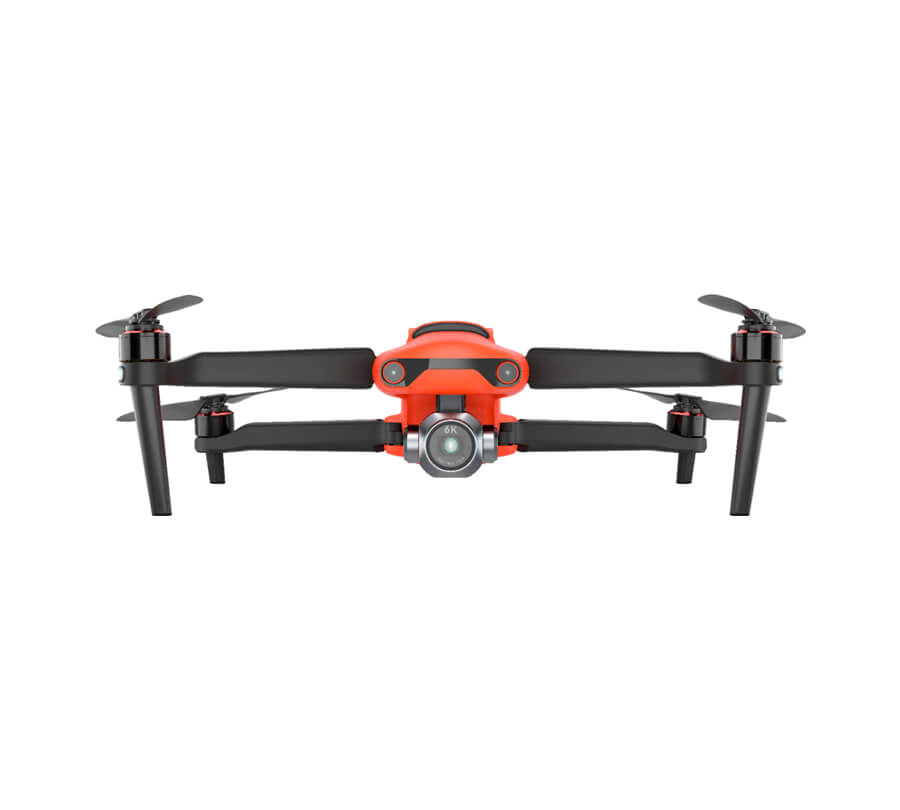
Carlson – Autel EVO II Pro
$3,800.00 – $7,000.00
The Autel Robotics EVO II Pro RTK is an advanced, proven aerial platform used for high accuracy imagery gathering in the surveying, construction, engineering, mining, quarry, land development, and related industries.
Key Features
- FAA Remote ID Compliant
- RTK module for accuracy
- 36 minute flight time
- Level 8 wind resistance (39-46mph/62-74kph)
- 20mp 1” sensor camera on gimbal
- Smart controller with 7.9” screen
- Built-in mission planning software
- Compact, folding design for easy transport
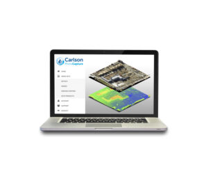
Bundle with the power of Carlson Point Cloud for further manipulation including bare earth filtering and feature extraction directly to CAD, the Autel EVO II Pro RTK becomes a powerful companion to traditional instruments and methods. Or use it with Carlson PhotoCapture for the creation of surfaces, point clouds, orthoimages, and more! All backed by the best unlimited, free tech support in the industry.
Downloads
Recommended Software Solutions
A modular program that provides the ability to go from field scan to finished plat, Carlson Point Cloud delivers powerful automation for large data sets. View and process up to 1 billion points all with Carlson ease-of-use.
- Register scans to local coordinates, filter or decimate the points, and overlay raster images in 3D
- Snap to edges and code descriptions for automated field-to-finish processing of linework and symbols
- Create contours, profiles, sections, and breaklines from within the point cloud
Lastly, all surface models, points, contours, breaklines, grid and profiles can be exported to CAD.
Related products
-
Carlson Zoom 25
$8,400.00 – $9,780.00 Select options -
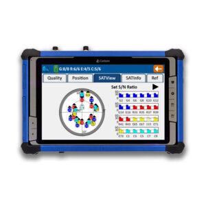
Carlson RTk5
$8,995.00 Add to cart -
Carlson iCAD
$69.50 – $695.00 Select options -
Carlson Point Cloud
$175.00 – $5,000.00 Select options


