Showing 1–16 of 18 results

Carlson RTk5
$8,995.00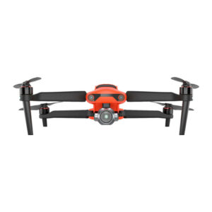
Carlson – Autel EVO II Pro
$3,800.00 – $7,000.00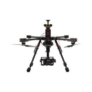
Carlson – CAP50
$13,900.00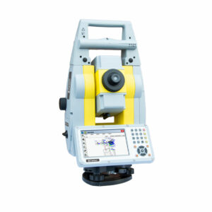
Carlson – CRx
Robotic Total Station
$1,460.00 – $30,819.00
Carlson Civil Suite
$195.00 – $4,250.00
Carlson iCAD
$69.50 – $695.00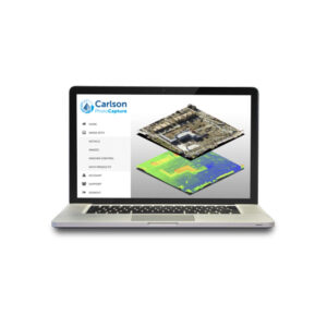
Carlson PhotoCapture
$150.00 – $4,995.00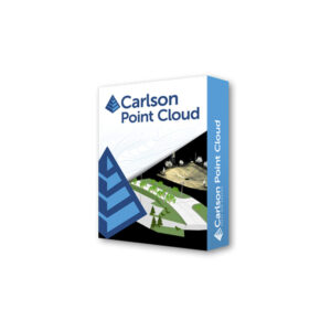
Carlson Point Cloud
$175.00 – $5,000.00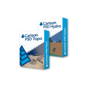
Carlson Precision 3D
$150.00 – $1,750.00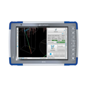
Carlson RT4
$2,990.00 – $5,150.00
Carlson RT5
$4,150.00 – $4,350.00
Carlson Scan3D
$495.00 – $2,500.00
Carlson Survey
$215.00 – $2,150.00
Carlson Takeoff
$750.00 – $7,500.00